COME AND TAKE IT
The Lower Owens River Project
2007-2013
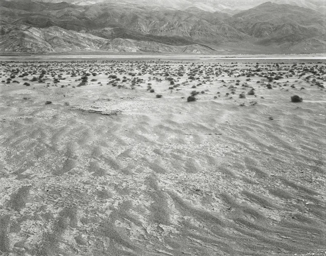


The deepest and westernmost valley of the Great Basin ranges, the Owens Valley, is nestled between the Sierra Nevada to the west, and the White and Inyo Mountains to the east. Despite its remoteness, the history of the Owens Valley is long and varied: beginning three million years ago with the geology that formed the Sierra and Inyo Mountains; the early indigenous people; mining, ranching, and farming at the end of the 19th and early 20th centuries; the beginning of what came to be known as the “Water Wars” with Los Angeles in the early 1900s; the internment of thousands of Americans of Japanese descent during World War II; and what is now possibly the beginning of a peace between the residents of the Owens Valley and Los Angeles Department of Water and Power.
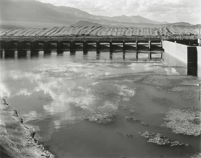
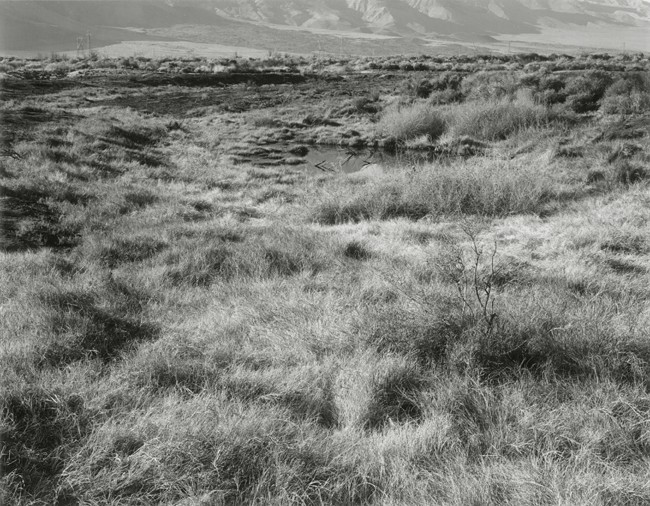
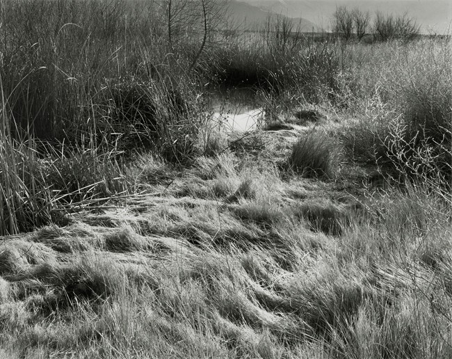
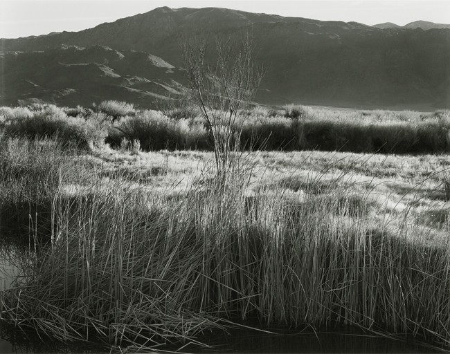
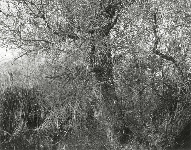
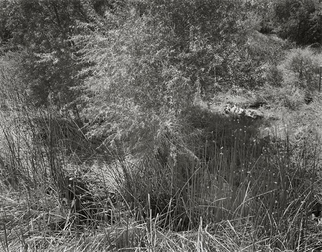
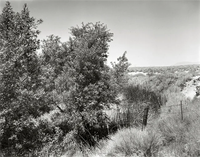
This photographs from this project document the result of twenty-five years of litigation between the residents of the Owens Valley and the City of Los Angeles over groundwater pumping and water exportation to support the water needs of Los Angeles. In a 2005 “Memorandum of Understanding,” the Los Angeles Department of Water and Power was ordered to re-establish the Lower Owens River and surrounding wetlands by diverting water from the Los Angeles Aqueduct into the original course of the then-dry river. It was also mandated that they maintain a consistent minimum flow rate, with a $5,000 penalty for every day that minimum flow rate was not reached. In addition to the return of water to more than sixty miles of river and delta, over two thousand acres of off-river ponds, lakes, and wetland habitat will be created to support the Eastern Sierra migratory flyway and the reintroduction of several threatened and endangered species. The Lower Owens River Project is the largest riparian habitat management and revitalization program in the country, and even though it is in a relatively remote part of eastern California, it sets a precedent for other water rights and environmental mitigation efforts all over the West.
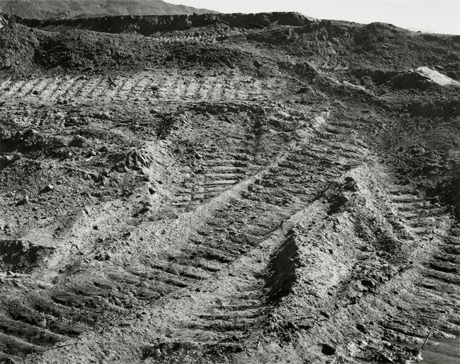
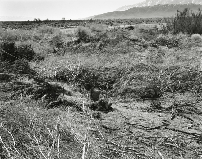
My original intention, beginning in February of 2007, was to document the changes taking place along the sixty-two miles of river and delta region. Soon after I began making the photographs, however, I realized that not only was I documenting the changes in the landscape, but also making photographs that represent the change in attitude of the City of Los Angeles towards the environments their actions have impacted. Although it is a small, court-ordered change, it is nonetheless a beginning.