REMOTE SENSING
2008-2013


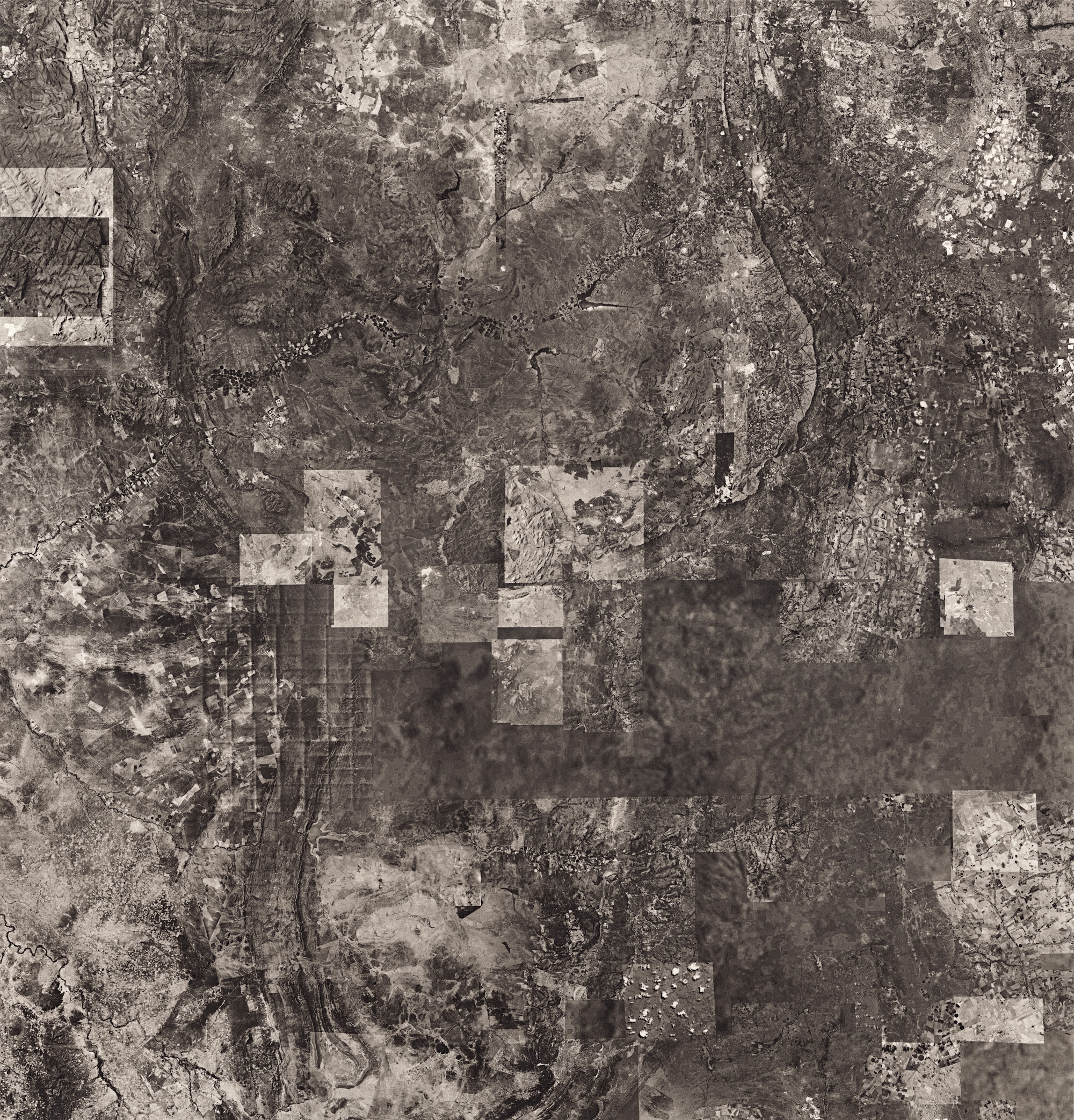

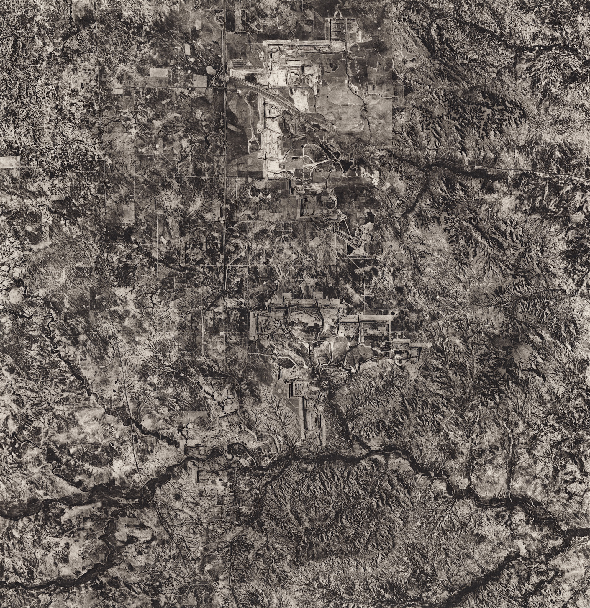


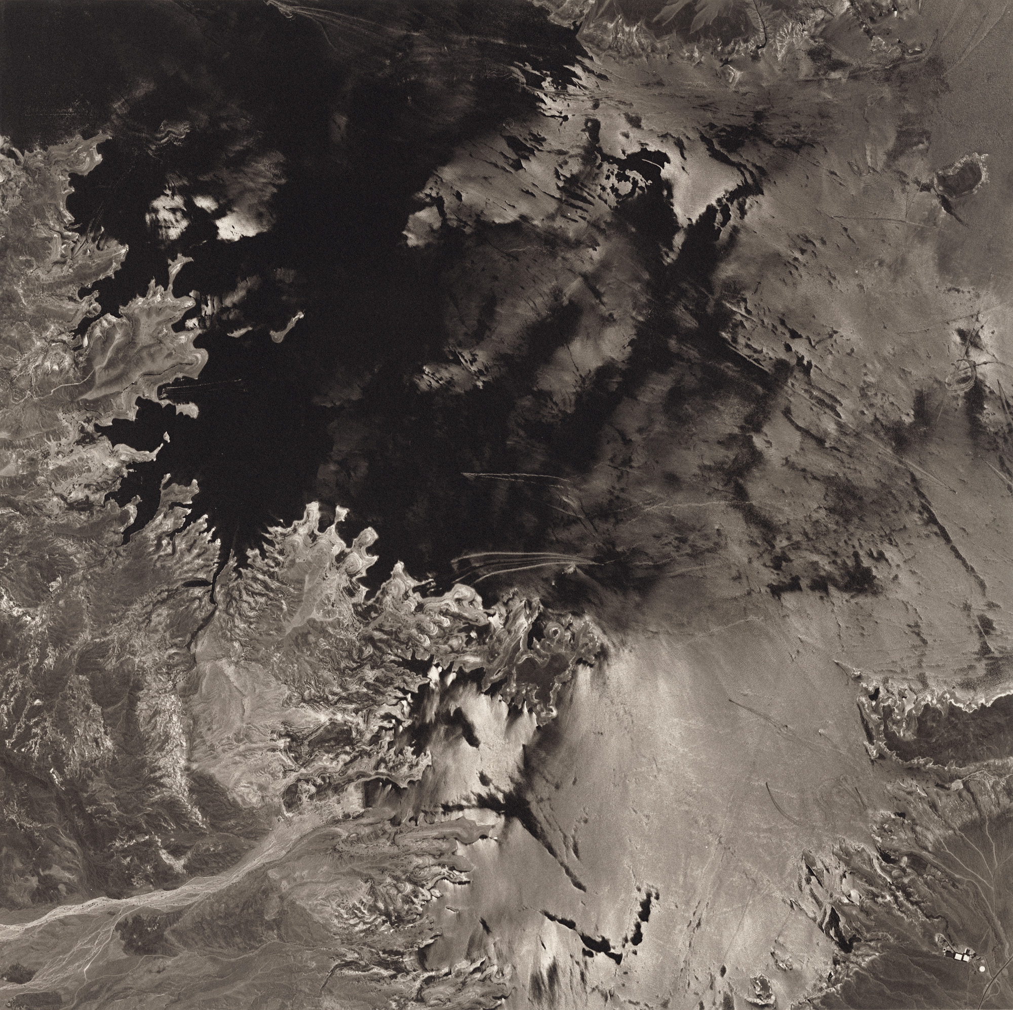
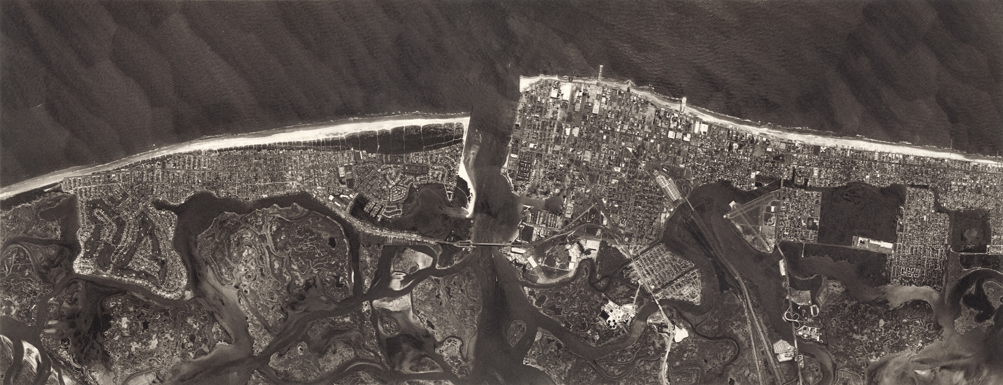
This body of work evolved as an extension of my conventional photographic work looking at man's relationship with the environment and landscape. In using mapping applications for planning and record keeping for my Lower Owens River Project, I became interested in using the idea of remote sensing—gathering information about something without direct observation of it, usually through satellite and aircraft-based instruments—for art making rather than purely scientific or intelligence gathering purposes.
When I began this series in 2008 I used hundreds of low-resolution appropriated satellite and high-altitude aerial images from Google Earth as source material for making high-resolution composite images. This act of reconstructing the final image echoes what was done by satellites and mapping aircraft to create the original Google Earth mosaic, and it allows me to include images that were acquired at different times to selectively create abstract compositions within larger mapped areas. In addition to facilitating more abstract and visually complex pictures, it is a way to incorporate the fourth dimension in a two dimensional photograph, something not possible with conventional aerial photography. Then, I print the digital composites in platinum-palladium, which I chose for the rich depth of its beautiful warm tonal scale, unsurpassed chemical stability, and archival properties. In these photographs, the beauty and permanence of the final pieces stand in juxtaposition with the impermanence of the purely digital source material, and the changing world itself.
Google Earth was originally a product of a CIA-funded company that Google acquired in 2004. This recalls the early use of aerial photography in mapping and reconnaissance gathering applications that Edward Steichen initiated during the first World War, and stands as a reminder that most technology, if not originally designed for military use, was quickly adopted for it, and only later used for scientific, commercial, and artistic purposes. In addition to those historical aspects, I am interested in photographing the artifacts of the underlying technology used in creating the Google Earth texture map to point to the increased acceptance of digital facsimile and mediated experiences replacing physical presentness.
The parts of the world I have used in this series illuminate the colossal impact of the last century's large-scale industrialization on the Earth in terms of energy and natural resources: atomic weapons testing, the production of nuclear energy and the long-term storage of radioactive waste; fossil fuel exploration and extraction; large-scale mining operations needed to support increased reliance on technology and renewable energy; and human intervention and manipulation of wetlands and waterways for energy generation, commerce, and recreation.
By looking at the Earth from such a removed vantage point, I have attempted to put into perspective the immensity of the Earth as well as humanity's ever-increasing capacity and seeming willingness to affect global environmental change. My hope is that by seeing the Earth at this scale, without visible borders and recognizable landmarks, we can see the need for individual and collective action to mitigate future environmental disaster.