


1
2
3
4
5
6
7
8
9
10
11
12
13
14
15
Trinity 2008
Trinity Test Site, White Sands, New Mexico, 2008
The world's first nuclear detonation in 1945 kicked off the atomic age and 50 years of Cold War, the Space Race, and now the problem of maintaining and storing nuclear stockpiles and decommissioned warheads. While the initial test was relatively small at 18 kilotons, fallout settled as far away as Indiana, causing fogging and spotting of Kodak film that was packaged in corn husk-based cardboard.
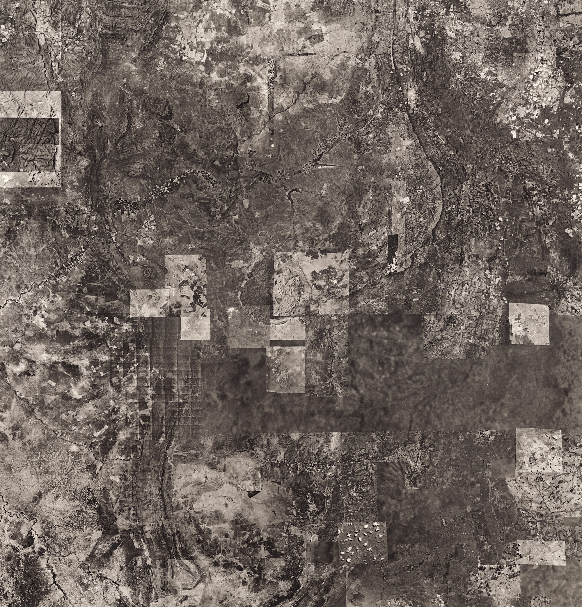
Nevada Test Site, 2008
Over 1000 nuclear detonations were conducted over the course of 40 years from 1951-1992, and subcritical tests, which do not require the critical mass to produce a nuclear chain reaction, continue to this day. Of the 928 individual tests, 100 were above ground, and mushroom clouds could be seen from nearby Las Vegas. Winds carried fallout radiation from these tests directly over southern Utah, resulting in a large number of cases of several forms of cancer between 1960 and 1980. The last atmospheric test took place in 1962, but more than 800 underground tests continued over the next 30 years. These underground tests, some as deep as 5000 feet below the surface, vaporized the surrounding rock, forming radioactive craters. The largest of these is the Sedan crater, which was part of a test showing the effectiveness of nuclear blasts in constructing canals and reservoirs (this was not pursued further due to the obvious risk of radiation poisoning). Some of these underground tests occurred directly in aquifers and many were below the water table. Recent groundwater tests have shown the radiation level to be millions of time higher than the Federal safely level, but the government doesn’t consider this to be an immediate threat to people, and there are no plans to clean up the area.
Yucca Mountain, Nevada, 2008
Yucca Mountain, part of the large tracts of government-owned land in Nevada, is northwest of the Nevada National Security site. It was the proposed site for the long-term storage of the nation’s radioactive waste from nuclear power plants, decommissioned warheads, and other contaminated material. Several test shafts were drilled and seismic and groundwater studies conducted. The area was found to be over an active fault line, and in some areas, the water table is only 600 feet below the surface. Between 2001 and 2012, about $9 billion was spent on studies and construction; the site was eventually deemed unsuitable for the long-term storage of nuclear waste. Another area in New Mexico is now being studied for this purpose, but in the meantime, nuclear power plants are storing spent fuel and waste on site.
Agricultural Collapse, Saudi Arabia, 2008
In 2008 17% of the United States oil and natural gas was imported from Saudi Arabia. That number is now lower due to increased production in the United States and Canada.
Due to low levels of rainfall, Saudi Arabia was dependent on groundwater pumping to support its agricultural needs. Unregulated drilling and pumping of groundwater began around 1975. By the mid 2000s, the aquifer, roughly the size of Lake Erie and tens of thousands of years old, was nearly completely depleted and the county’s agricultural production has collapsed (at one time, Saudi Arabia had the 6th largest wheat export, and 2016 will be country’s last wheat export). The aquifer supplied drinking water for 60 million people as well as the country’s oil and gas industry. Desalination plants are now used to supply drinking water but are expensive for irrigation. For the past several years, Saudi Arabian companies have been buying land in the Arizona desert near Phoenix to produce hay for their livestock, and bringing up Arizona’s groundwater to support it. Now, with falling oil prices, the cost of water and shipping feed halfway around the world is all that much higher.
Edge of the Salar de Atacama, Chile
Arctic National Wildlife Refuge, Alaska, 2012
The remote area in Northern Alaska is believed, but not proven, to contain as much as 16 billion barrels of recoverable oil in the largest federally protected wilderness (there is a small portion of that area designated for oil and gas exploration). There is controversy not only about drilling in protected wilderness and caribou calving habitat, but also about the economic feasibility of any oil production from the area. Department of Energy studies have found that it might only have a 0.4% to 1.5% effect on fuel costs, and would not significantly contribute to protecting U.S. petroleum reserves. At current oil prices, the investment in infrastructure needed for oil production in the area outweighs benefits.
Bushveld Complex Platinum Mines, South Africa
Increasing demand for gold, platinum, cobalt, and other rare earth metals used in industrial applications, electronics, and renewable resources has led to huge investments from the United States and China in developing resource-rich areas of Africa and South America, often at great human cost due to minimal regulations and low labor costs. Shortly after this was made in 2012, several workers were killed while protesting for better working conditions, higher safety standards, and better wages.
Pickens Plan, Ogallala Aquifer, Northern Texas to South Dakota, 2012
Oil Billionaire T. Boone Pickens became a strong supporter of renewable energy and proposed building huge wind farms throughout the midwest’s “wind corridor” to replace coal and natural gas power plants. Along with the purchase of land for developing the wind farms, he also bought up water rights above parts of the nation’s largest aquifer. Pickens is now the largest holder of water rights in the country, and is planning on building a 250-mile pipeline to sell 65 billion gallons of water a year to Dallas, Texas. The Ogallala runs from Northern Texas to South Dakota, holds the equivalent of seven Lake Eries' worth of water, and supports much of the agricultural production throughout the midwest. In the last 100 years, about 1/7th of the aquifer has been depleted, and the threat of climate change and increased need for groundwater tax this millennium-old resource to the point where it can’t recover quickly enough.
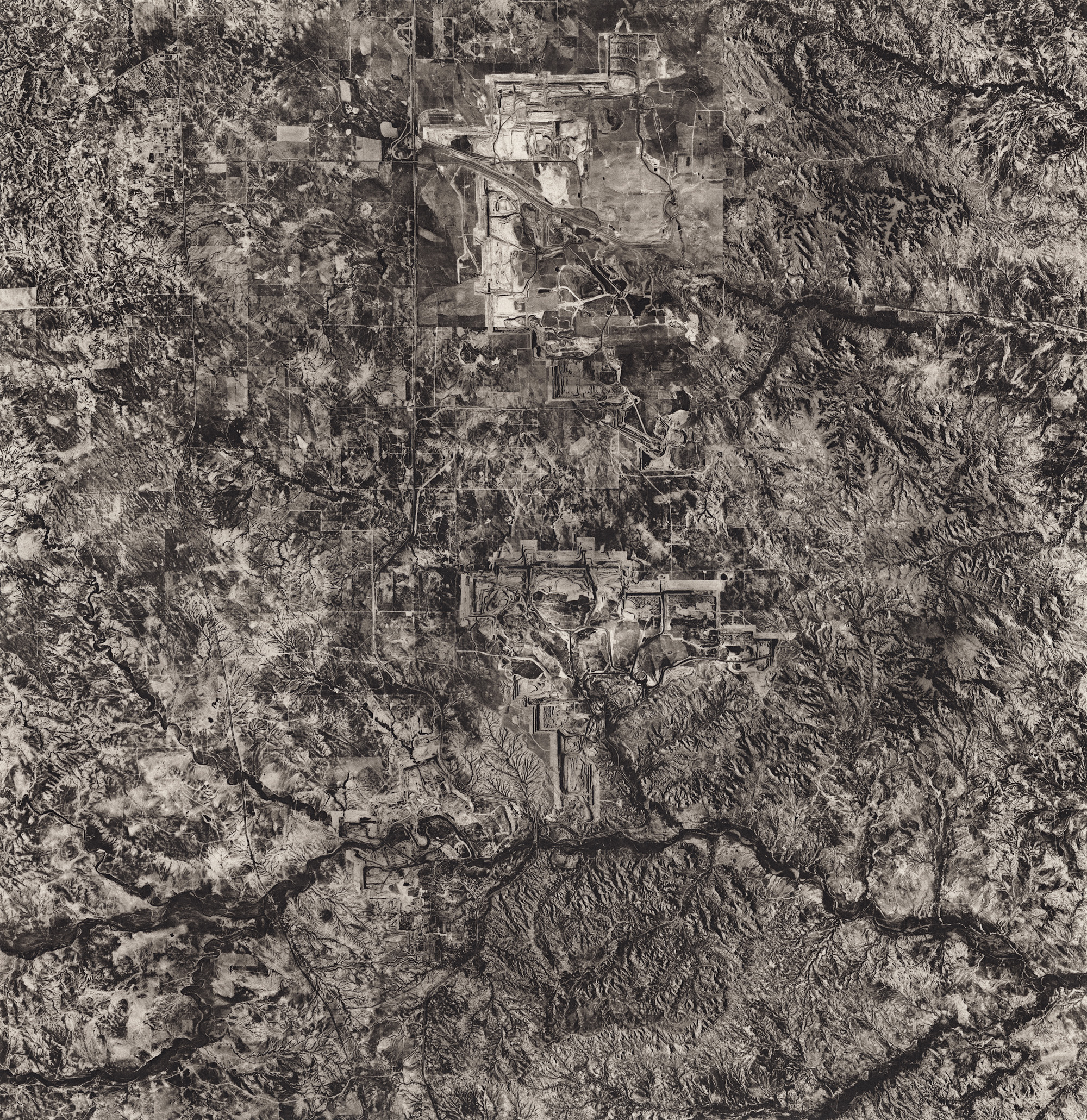
Black Thunder Thermal Coal Mine, Wyoming
Once the world’s largest coal mine, it is now just the largest in the United States. Coal from this mine is shipped by rail and used in coal-fired power plants all over the United States. The United States has strengthened CO2 regulations, causing the coal industry to decline, and the company that operates the Black Thunder Mine in going through bankruptcy to restructure the company’s massive debt. It continues to operate while in bankruptcy proceedings.
Mississippi River Delta, Louisiana
The Mississippi River is the largest man-altered waterway in the world, and there are thousands of miles of canals, levies, and dams that attempt to maintain its current course to prevent flooding of nearby farms, communities, and industrial areas. All this has prevented the natural flow of sediment that has replenished coastal wetlands subjected to erosion from normal tides and seasonal storms; about a football field's worth of wetland and land mass returns to the sea every hour. In the span of less than 100 years, Louisiana has lost almost 2000 square miles of land, an area nearly the size of Delaware. The greater risk now is from the threat of rising sea levels due to climate change and the effect of erosion from storms that outstrips the wetlands' ability to renew themselves. This isn’t only an environmental problem, but a major economic problem as well due to the billions of dollars in shipping, fishing, and oil and gas exploration that sustains the people along the Gulf Coast.
Baghdad, Iraq, 2008
Istanbul, Turkey, 2008
Amazon River Basin, 2012
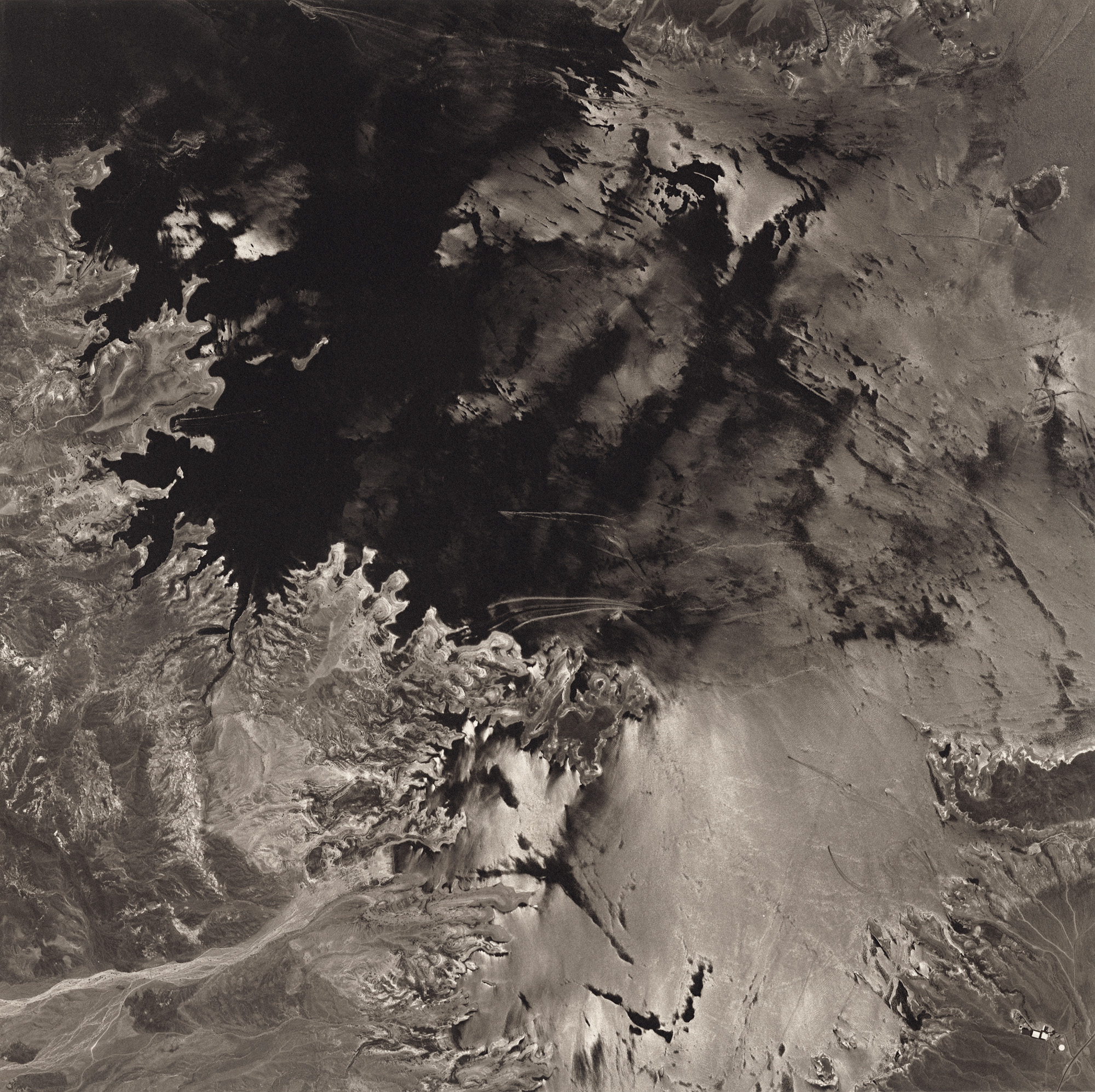
Lake Mead, Nevada, 2008
Lake Mead, perhaps the best and worst symbol of the looming water crisis in the West. The lake and hydroelectric dam provide water and power to nearly 30 million people throughout four states in west. Due to prolonged drought conditions, along with the demands on the Colorado upriver to support agriculture and drinking water, the lake is down to 1073 feet above sea level, nearly 200 feet below its capacity. As of July 1, it is at its lowest point since it was initially filled in 1936. The dam’s capacity to produce electricity falls as the water level gets lower, and if it falls below 950 feet, it will cease to produce electricity at all.
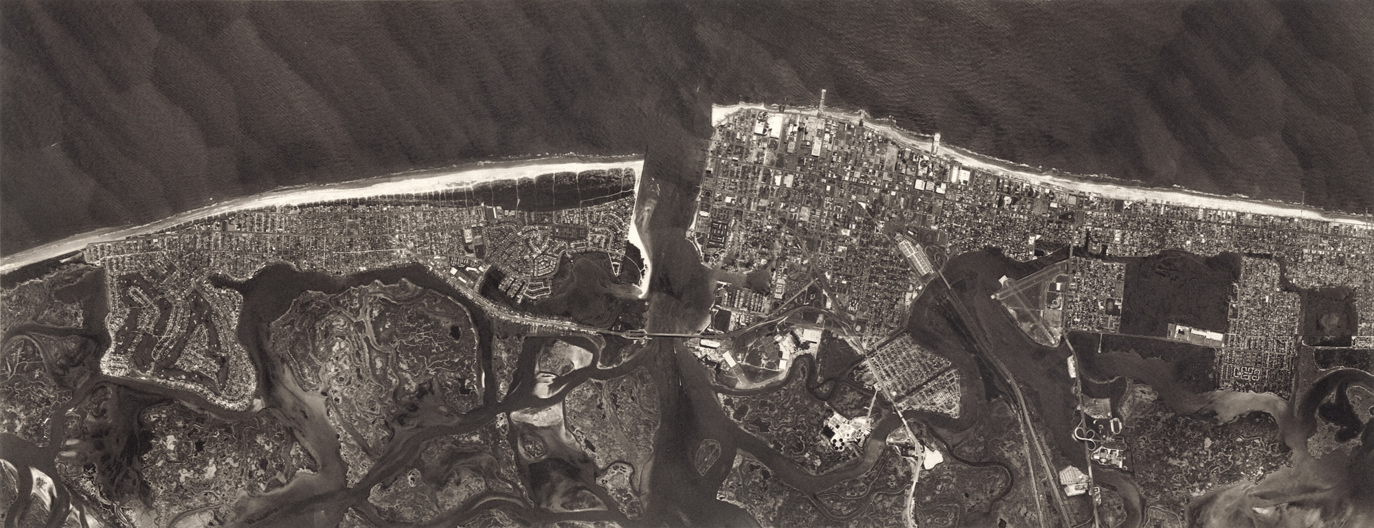
Atlantic City, 2012